Duration
24 days
Difficulty
Expedition-level
High point
Jungben La, approx. 5,560 m
What makes it unique
What makes it unique
Dolpo is not just a name on a map. It is a valley, a people, a way of living to the rhythm of the wind, the yaks and the mantras. This project is the culmination of a relationship with the region that began in 2011: a complete traverse from Dhorpatan to Jomsom, travelled the way the Dolpo-pa themselves cross their own mountains — light, fast, without artifice. Not a week-long trek, but a full crossing of western Nepal, six passes above 5,000 m, designed for long-distance trail runners looking for the Himalayan equivalent of an ultra.
What you will find here
- Six passes above 5,000 m, all higher than Mont Blanc
- Genuine immersion in Tibetan culture and in the Bon and Hindu traditions
- The Yarsagumba harvest, the wild cordyceps gathered every spring by the Dolpo-pa
- Nights spent with local families or bivouacking alongside the herders
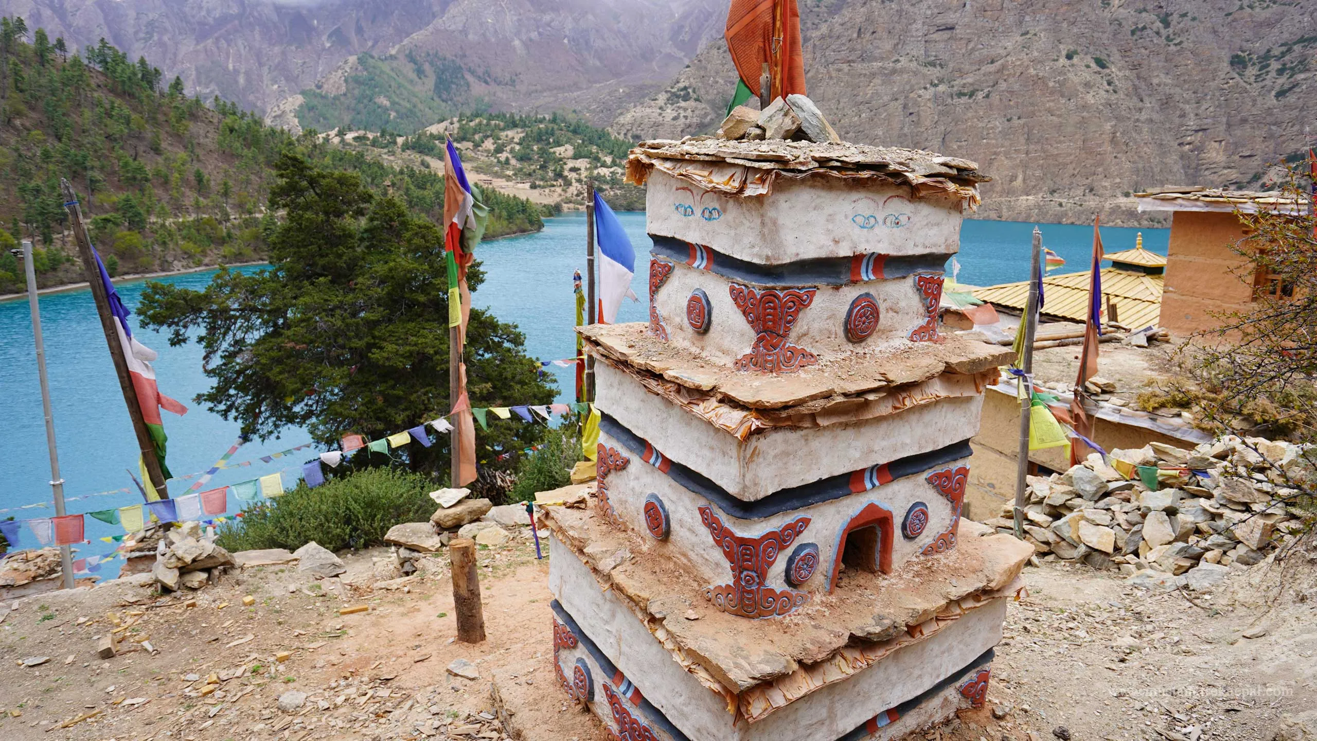
- Visits to cliff-top monasteries and encounters with the monks who live in them
- Pastoral life at its most authentic: yaks, transhumance, high summer pastures
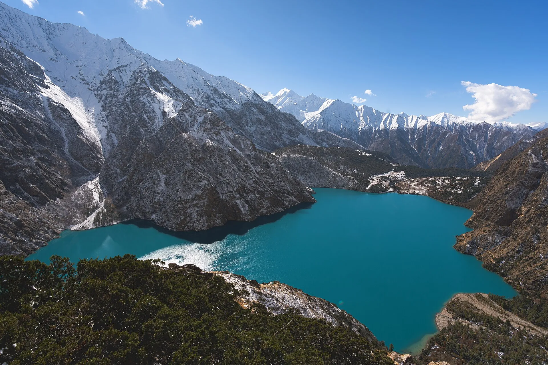
- Phoksundo Lake, an unreal shade of blue and the deepest lake in Nepal
- Rare wildlife: snow leopard, blue sheep, golden eagles, Himalayan vultures, musk deer
The backbone of the project
The precise stages are set each year according to the weather, the snow on the passes and the local availability of yaks and porters — what follows is the geographical outline of the route.
Chapter 1 — The approach via Dhorpatan
A domestic flight followed by a 4x4 transfer to Dhorpatan (3,000 m), Nepal's only hunting reserve, on the edge of Magar territory. The starting point of the traverse, and already the feeling of stepping off the usual tourist maps.
Chapter 2 — The western passes
Crossing the Jaljala and then the Jang La (approx. 4,530 m), dropping into the Tichurong valley and its Magar communities, before climbing back up to Dho Tarap, the highest permanent village in Dolpo and a former crossroads of the Tibetan salt caravans.
Chapter 3 — The heart of Dolpo
Crossing the Numa La (approx. 5,310 m) and the Baga La (approx. 5,170 m), the two emblematic passes of the region, before the descent to Phoksundo Lake and its turquoise water, set deep inside the national park of the same name.
Chapter 4 — Bon country
The climb up to Shey Gompa, sanctuary of the sacred crystal mountain and a major site of the Bon tradition, then on to the villages of Saldang, the demographic heart of Upper Dolpo.
Chapter 5 — The great traverse east
A series of passes above 5,000 m, up to the Jungben La (approx. 5,550 m), the high point of the whole route, through landscapes that grow steadily more arid and more isolated.
Chapter 6 — Arrival in Jomsom
The final descent into the Kali Gandaki valley and Jomsom, a gradual return to civilisation after more than two weeks of almost uninterrupted walking.
Route at a glance
Dhorpatan → Jaljala and Jang La → Tichurong → Dho Tarap → Numa La and Baga La → Phoksundo Lake → Shey Gompa → Saldang → a series of passes above 5,000 m → Jungben La → Jomsom
Good to know
- Duration: 24 days, including 18 days of actual walking
- Difficulty: Expedition-level (fastpack, excellent endurance required)
- High point: Jungben La, approx. 5,560 m
TAILORING
Every journey here can be run privately, on your dates, at your pace — tell us what you have in mind.
Request this journey
Tell us your dates and we will come back with a plan and an honest price.